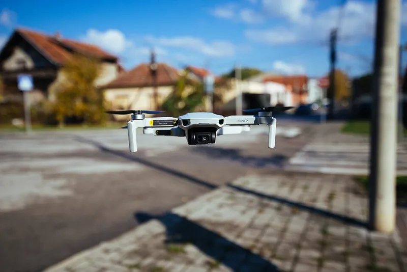
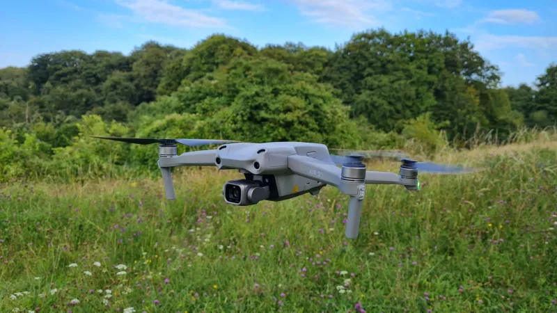
Standing Room Only: Why a Public Footpath Isn’t a Drone Launch Pad
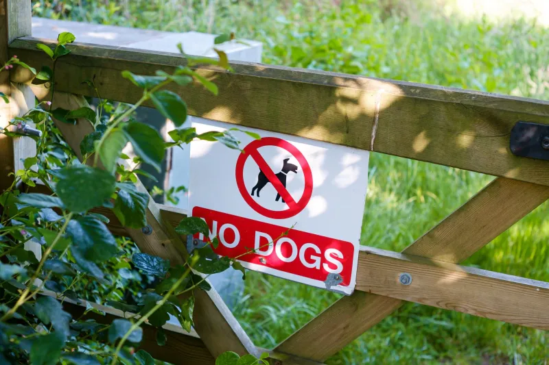
There’s a particular kind of optimism that sets in when you spot a public footpath sign, a wide verge and an empty sky. It looks like a launch site. It feels like a launch site. And then a farmer, a dog walker or a council byelaw notice reminds you that a right of way is not the same thing as a right to fly from there.
That distinction matters more than most drone buyers expect. In the UK, access rights and aviation rules are two separate conversations. You can be completely compliant with the CAA and still be standing somewhere you should not be unpacking a drone. The footpath is the corridor. It is not a blanket permission to occupy the ground beside it.
A right to pass, not a right to pitch up
In England and Wales, a public footpath gives you a right to pass over land on foot. A bridleway, restricted byway or byway open to all traffic comes with different access rights, but the principle is similar: the route exists for movement, not for setting up camp. The landowner still owns the soil. The highway authority looks after the surface. Neither arrangement quietly hands you a drone launch pad.
Scotland is different again. Statutory access rights are broader, and responsible access is the guiding idea. But broader access does not mean every field gate, car park or beauty spot is fair game for a takeoff. Local bylaws, land management rules and simple good manners still apply. As of 2026, the safe assumption is that a public route is for passing through, and any longer stop needs a second thought.
The takeoff-and-landing gap
The CAA regulates the air. It does not give you permission to stand on someone’s land, block a gate or turn a stile into a launch platform. Takeoff and landing are land-use decisions. If you do not control the land, you need the person who does to be happy with what you are doing.
That is where footpaths get awkward. A path may cross a private field, a council-owned country park, a National Trust estate or a working farm. The fact that the path is public does not mean the surrounding land is a free-for-all. Councils often have byelaws. Conservation bodies frequently have their own drone rules. Farmers may tolerate walkers but draw the line at a stranger crouching beside a gate with a controller and a landing mat.
The practical question is not “am I allowed on this path?” It is “am I allowed to stop here, occupy this space and launch an aircraft from it?” Those are different questions, and only the second one decides whether you should open the bag.
The gate-line checklist for 2026
A footpath-adjacent launch can work. It just needs to be short, tidy and almost invisible. Run this checklist before the props turn.
- Check who manages the land. A footpath sign tells you where to walk, not who to ask. Look for council, National Trust, Forestry England, Wildlife Trust or private farm signs. If in doubt, assume you need permission.
- Read the notice board, not just the map. Car parks and reserve entrances often carry byelaws or drone bans. A path being public does not override a specific local rule.
- Stand clear of gates, stiles and pinch points. A gate is a junction, a windbreak and a place where walkers, dogs and livestock bunch up. Do not make it your launch site. Find a wide, quiet spot where you are not part of the route.
- Keep the right of way open. Bags, tripods and landing pads should not narrow the path or force anyone onto crops or into a hedge. If a wheelchair, pushchair or nervous dog would struggle to pass, you are in the wrong spot.
- Give livestock space. Do not launch near animals, especially with young. Close gates behind you, keep dogs under control and do not treat a curious cow as a spectator.
- Look up before you look down. Check airspace restrictions, flight restriction zones and NOTAMs. Use the CAA’s systems or a trusted planning app. A beautiful footpath can sit under a very inconvenient piece of sky.
- Know your aircraft paperwork. In the UK, Flyer ID and Operator ID requirements depend on the drone and how it is flown. Check whether Remote ID applies to your aircraft and whether local rules add anything else. Keep proof accessible on your phone.
- Plan the exit before the entry. If someone asks you to stop, can you pack down in two minutes without leaving a mess or an argument? If not, simplify your kit.
- Leave no trace. No zip ties on gates, no mats left in long grass, no “I’ll just hover over there” moments above gardens, paths or livestock.
If someone challenges you
Be pleasant. Explain what you are doing, show your ID if it is relevant, and listen. If a landowner or manager asks you to stop launching, stop. You can debate the finer points of access law another day, preferably not while holding a controller and blocking a gate.
A public footpath may give you the right to be there on foot. It does not give you the right to win an argument about drones. The sensible move is to apologise, pack up and find a better spot. A five-minute retreat is cheaper than a complaint to the council or a reputation for the local drone crowd.
The field verdict
Footpaths are brilliant for finding open countryside and terrible for pretending you have a private airfield. They are linear, gate-heavy and shared with exactly the people who will notice a drone first. Treat them as access corridors, not launch venues.
If you want a reliable footpath-adjacent flight, keep the footprint tiny: one pilot, one spotter, no ground furniture, a clear path and a quick exit. Better still, get permission on private land or join a club site where launching is expected. The best flights often begin with a boring question: whose land is this? On a public footpath, that question is the whole game.