The Airspace Audit: Will a Drone Actually Fly From Your House?

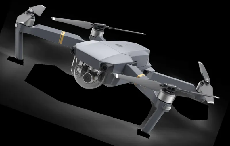
Photo: Simon Fernandez, CC BY 2.0, via Wikimedia Commons
There's a particular kind of optimism that strikes about ten minutes into a drone review video. The gimbal is smooth, the footage is glorious, and you're already picturing a Saturday morning launch from the end of your garden. Then the drone arrives, you open the app, and a large red circle appears over your house. The box goes back in the cupboard.
That's avoidable. The single most useful pre-purchase check isn't sensor size or flight time — it's whether your postcode is somewhere you can legally and practically fly. Call it the airspace audit, and it takes about twenty minutes.
Start With the Map, Not the Spec Sheet
The CAA's drone safety map, and the NATS Drone Assist app that draws on similar data, lets you type in a postcode and see the airspace above it. Do this before you buy. Not after the courier has been.
Zoom out first. You're looking for three things: controlled airspace, aerodrome zones, and anything marked as a restriction. Then zoom in on your street. The map is a starting point, not a verdict — it won't tell you about council bylaws or the fact that your local park has a sign up — but it will tell you pretty quickly whether your garden is a non-starter.
What the Colours Actually Mean
Red generally means you need permission or shouldn't be there. Amber is a caution: think before you launch, and check what the specific restriction is. Green suggests open airspace, but green does not mean 'anything goes'. It means the airspace itself is unrestricted. The ground rules still apply.
A common mistake is treating a drone manufacturer's geofencing map as the law. DJI's GEO zones are advisory and can be unlocked. The CAA's map reflects the actual airspace structure. If they disagree, trust the official source, then trust your common sense.
The Airport Ring
Flight Restriction Zones sit around protected aerodromes — usually a 5km ring from the boundary, with additional runway-end extensions. Inside one, you need permission from the airport even for a 249g drone. For recreational garden flying, that permission is rarely granted. If your postcode sits inside an FRZ, assume the garden is out unless you've had a written yes.
This catches people in unexpected places. You don't have to live next to Heathrow. A regional airport, a military aerodrome, or a heliport can put a big circle over a quiet suburb.
Sub-250g Doesn't Mean 'Anywhere'
A sub-250g drone flown in the A1 category can be used close to people — though not over crowds — and doesn't require an A2 certificate. That makes it the obvious choice for garden flying, and it's why so many UK beginners end up with a Mini rather than a Mavic.
But small doesn't mean exempt. You still can't fly in an FRZ without permission, you still have to follow local bylaws, and you still need to keep the drone in sight and respect privacy. A 249g drone is also more affected by wind, which matters when your launch pad is a patio with a fence and a leylandii hedge. A British garden is a wind tunnel with a lawn.
The 150m Problem for Bigger Drones
This is where most suburban buyers get caught. A drone above 250g flown under A3 must be kept 150m away from residential, commercial, industrial and recreational areas. A typical back garden in a town is inside that bubble by definition. The A2 route allows 50m from uninvolved people, but you'll have needed the A2 certificate, and 50m in a built-up area is harder than it sounds — it's not just your garden, it's the neighbours' gardens, the pavement and the school run.
In plain terms: a Mavic 3 or an Air 3 is a brilliant aircraft that may never legally leave your lawn. If you want to fly from home regularly, buy for the garden, not for the fantasy trip.
Bylaws, Trust Land and the Small Print
The airspace map won't tell you that your local park bans drones, that the National Trust prohibits launching from its land, or that the canal towpath is a no. Check the council's website for park bylaws, and check the landowner for anything else. Common blockers include National Trust properties, Forestry England land, RSPB reserves, MOD land and school fields.
It's also worth checking whether your nearest open space is actually a park or a village green with its own rules. A five-minute phone call to the council parks team can save you a wasted purchase.
The Neighbour Factor
Legality is the floor, not the ceiling. A drone hovering at the end of a suburban garden is audible, visible and — to someone who hasn't chosen to be there — potentially annoying. If your planned flight path looks straight into a neighbour's kitchen, that's a conversation worth having before you buy, not after.
The Cupboard Test
Be honest about travel. Put your postcode into the map, find the nearest genuinely legal flying space, and time the drive. A 20-minute drive each way plus an hour of flying is a three-hour Saturday. If that's fine, buy the bigger drone. If it isn't, a sub-250g model and a legal local field is the better spend.
The cupboard test is simple: will this drone get used, or will it sit on a shelf next to a bread maker? A drone you fly twice a month from a nearby field is better value than a flagship you're scared to launch.
A 20-Minute Pre-Purchase Checklist
- Search your postcode on the CAA drone safety map and Drone Assist.
- Check for an FRZ or controlled airspace around your home.
- Read your council's park bylaws and any landowner rules.
- Look at satellite view for trees, wires and sightlines.
- Decide whether you're buying for the garden or for days out.
- If you're near the edge of a zone, ask a local club before spending.
- Remember that sub-250g is easier, not exempt.
The best drone is the one you can actually fly. Twenty minutes with a map beats a year of buyer's remorse.